After a good rest in beautiful Whitehorse we said our good-byes and headed out for Burwash Landing. We'd barely left the campground when we came upon a bison on the side of the road.
 |
| Bison | |
Not long after that, we came upon a big black bear nibbling his way along side the road on fresh green grass.
 |
| Black Bear next to side of Alaska Highway |
|
Not long before we got to the Kluane Ice Fields we came across another black bear meandering into the woods.
 |
| Black Bear |
|
Here's a caribou (large male) that we came across just before the Kluane Ice Fields.
 |
| Male Caribou |
|
The rugged snowcapped peaks of the Kluane Icefield Ranges and the outer portion of the St. Elias Mountains to the west.
 |
| Kluane Icefield Range |
|
|
The Kluane National Park Icefield Ranges are Canada's highest and the world's largest nonpolar alpine ice field forming the interior of the park.
 |
| Kluane Icefield Range |
|
|
 |
| Icefields Ranges Overview |
|
In clear weather, Mount Kennedy and Mount Hubbard, are visible.
 |
| Mt. Kennedy & Mt. Hubbard |
|
Between 300 & 400 years Kaskawulsh Glacier advanced across the Slims River and closed the drainage outlet of Kluane Lake. The water level rose more than 30' and the lake's drainage reversed. Water that had flowed south to the Gulf of Alaska carved out a new channel at the northeast end of the lake to connect with the Yukon River system. Instead of traveling south to the Pacific Ocean, Kluane Lake waters begin a journey 10 times longer north to the Bering Sea. When the waters receded to their present level the lake's drainage had been permanently altered.
 |
| Kluane Lake in the background |
|
 |
| Kluane Lake |
Kluane Lake is the largest lake in the Yukon Territory, covering approximately 154 square miles.
 |
| Kluane Lake |
The Ruby Range, Tachal Dhal (Sheep Mountain) North face lies just on the South shore of the lake.
 |
| Tachal Dhal (Sheep Mountain) South Face |
|
Once we arrived in Burwash Landing, we decided to continue driving. We'd heard and read that the worst of the Alaska Highway was between Burwash Landing and Beaver Creek. We were hardly out of town when we started to hit huge dips in the road and sections of gravel. The frost heaves between Burwash Landing and Beaver Creek are primarily because of the 18" permafrost in the ground. We only drove between 30 and 40 MPH and luckily, because there is very little traffic; we were able to use up the whole road. One nice feature is that we're able to stop frequently and enjoy the view.
 |
| Kluane River |
|
 |
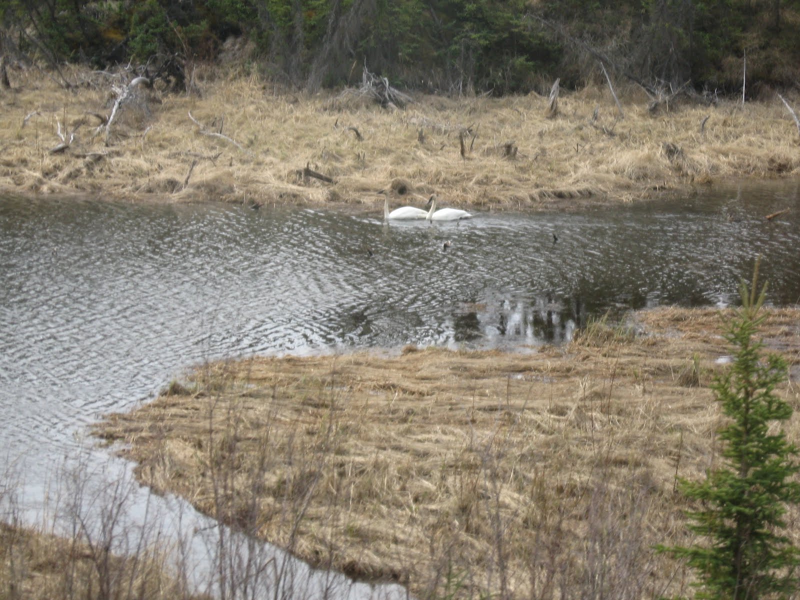
| Trumpeter Swans along the way |
|
 |
| More of the Kluane Range |
|
When we arrived in Beaver Creek at the Westmark Inn & RV Park, we decided that we were too tired to cook a meal. Lucky for us, the Inn put on a live dinner show about the pioneers, historical characters and locals who make the Yukon a special place.
 |
| Performers with Roger & Sue (Singer/Dancer & Sgt. Loyal) |
A green salad, chicken, beef stew, biscuits, and baked alaska dinner was served family style. It was very good and the entertainment was great!


No comments:
Post a Comment